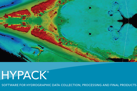
HYPACK® is one of the most widely used hydrographic software packages in use today. It is designed to assist you in all of the hydrographic operations, with software that is straightforward and simple to use. The software package provides the tools needed to design, acquire and process your survey data, and create the final products needed.
Tools for creating contours, computing volumes,creating sidescan mosaic and create electronic charts (ENC) are part of the package. Over two hundred sensor inputs provide the connection for all types of GPS, Inertial systems, echo sounders, sidescan and sub bottom, magnatometers, velocity sensors and more. HYPACK® is more than a navigation software; it’s your complete hydrographic package from planning to deliverable.